
Amnat Charoen |
Buriram |
Chaiyaphum |
Kalasin |
Khonkaen |
Loei |
Maha Sarakham |
Mukdahan |
Nakhon Phanom |
Nakhon Ratchasima |
Nong Bua Lam Phu |
Nong Khai |
Roi Et |
Sakon Nakhon |
Si Sa Ket |
Surin |
Ubon Ratchathani |
Udon Thani |
Yasothon
Northeast Thailand – Isan |
||
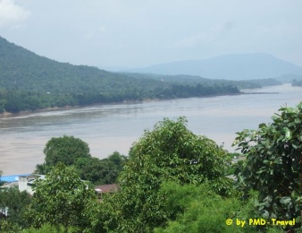 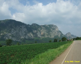 |
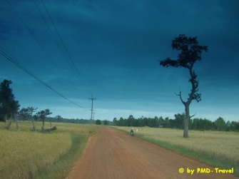
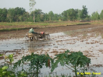
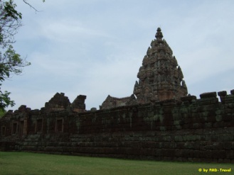
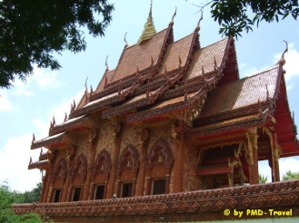
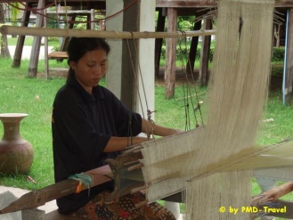
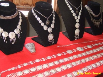
The Northeast of Thailand, a vast plateau covering nearly one third of the country, is usually known as Isan. It extends northwards to the Mekong River which divides Thailand from Laos, and to the south and it ends at the Dong Rek mountain range along the border with Cambodia. It is known to be an arid region with soil of poor quality, but for tourism, Isan is one of the country’s most intriguing destinations with many Stone Age and Bronze Age dwellings and artifacts, and several significant temples that are a legacy of the great Khmer empire. Two of Thailand’s best-loved national parks, Khao Yai, Phu Kradung and Phu Rua in Loei, are in Isan. Other major attractions include the villages in Khorat and Khon Kaen where the beautiful local silk is woven by hand and the pottery. Isan is a comparatively poor region whose main income is from agriculture, and many of the younger people in the villages migrate to the city. But Isan folk have a distinctive character and dialect and a vigorous culture, with their old traditions still reflected in the many festivals unique to the region. With its strategic position bordering Laos and Cambodia, Isan has in recent years risen to become a useful starting point for adventurous journeys to destinations along the mighty Mekong River. There have been important developments in infrastructure to accommodate what is expected to be a boom in tourism. Travel in the region has been improved by domestic airlines with regular flights to regional airports; and it is no longer impossible to find luxury accommodation, especially in large provinces of Khon Kaen, Udon Thani, Nakhon Ratchasima and Ubon Ratchathani. The Northeast consists of 19 provinces: Informations about them you can find below. |
  |
|
||
Information by Tourism Authority of Thailand
Amnat Charoen
|
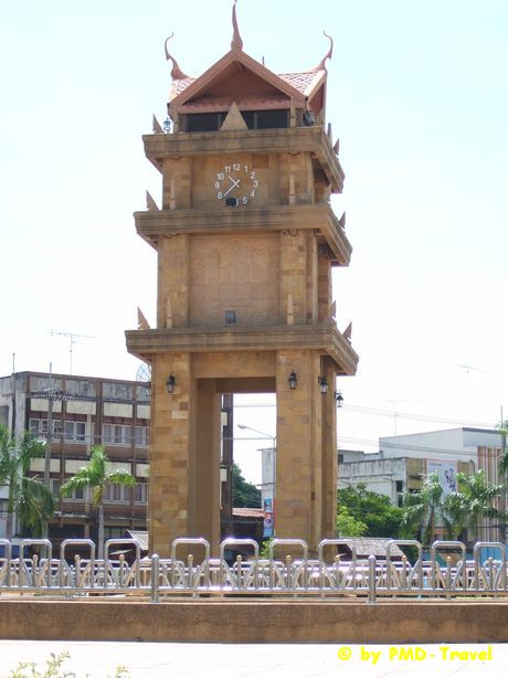
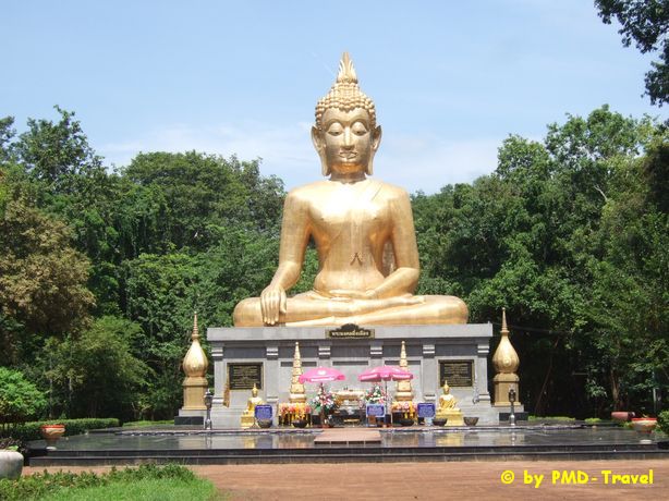
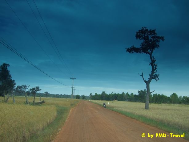
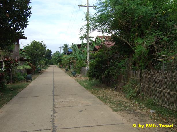
Amnat Charoen is part of lower Northeast region. The province acquires total area of 3,161 square kilometres. Its eastern boundary, at Amphoe Chanuman, is next to Mekong River. The community was firstly established during the reign of King Rama III of Rattanakosin some two centuries ago. Amnat Charoen has been part of Ubon Ratchathani until it was upgraded into province on December 1, 1993. Although it is a small and tranquil town, Amnat Charoen has various attractions distributing in different Amphoe. Visitors to Amnat Charoen can stroll around to witness sacred Buddha images, picturesque rice paddies and fruit orchards, rocky rapids of Mekong River in dry season , and excellent handicrafts particularly silk. |
|
|
|
Buriram
|
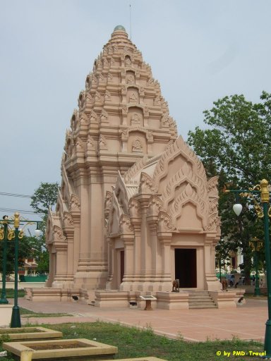
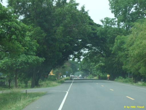
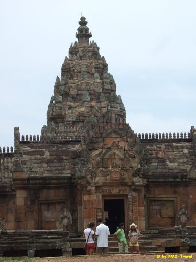
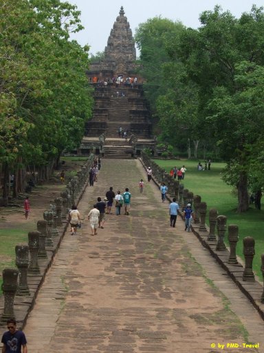
Buriram is a land of ancient Khmer prosperity. The southern part of the province has a number of Khmer sanctuaries, the most magnificent being Phanom Rung, regarded as one of the most beautiful examples of Khmer architecture in Thailand. Buriram is 410 kilometres from Bangkok. It has an area of 10,321 square kilometres. The province is divided into the following districts: Mueang Buriram, Nang Rong, Lam Plai Mat, Prakhon Chai, Phutthaisong, Satuek, Krasang, Ban Kruat, Khu Mueang, Lahan Sai, Nong Ki, Pakham, Na Pho, Nong Hong, Phlapphla Chai, Huai Rat, Non Suwan, Chalerm Phra Kiat, Chamni, Non Din Daeng, Chaloem Phra Kiat, Ban Mai Chaiyaphot, Ban Dan, and Khaen Dong |
|
|
|
Chaiyaphum
|
Chaiyaphum is a province in the centre of Thailand. It is well known in tourism terms because it has beautiful flower fields. Chaiyaphum was founded over 2 centuries ago during the early Rattanakosin period by a group of Vientiane people led by Nai Lae. Chaiyaphum is 342 kilometres from Bangkok and has an area of 12,778 square kilometres. It consists of the following districts: Mueang Chaiyaphum, Khon Sawan, Kaeng Khro, Ban Thaen, Phu Khiao, Kaset Sombun, Khon San, Nong Bua Daeng, Ban Khwao, Chaturat, Bamnet Narong, Thep Sathit, Nong Bua Rawe, Phakdi Chumphon, Noen Sanga and Sap Yai. |
Kalasin
|
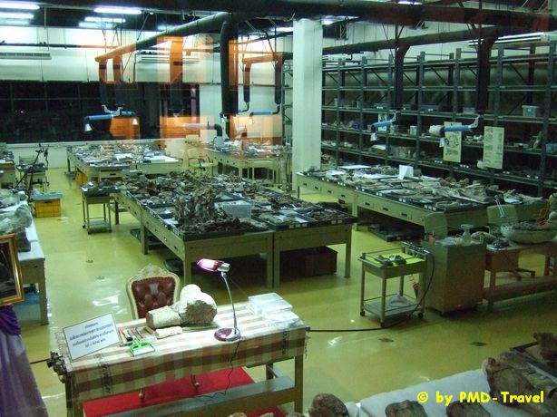
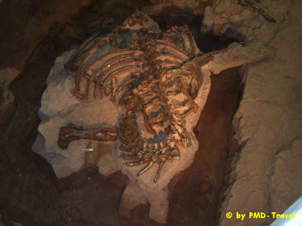
Kalasin, the land of Pong Lang music and the famous Phrae Wa cloth, is 519 kilometres from Bangkok. It is the site of the ancient city of Fa Daet Song Yang and one of the largest concentrations of dinosaur fossils in northeastern Thailand. Kalasin has an area of 6,946 square kilometres. It is divided into 18 districts (Amphoe): Mueang Kalasin, Yang Talat, Kamalasai, Sahatsakhan, Kuchi Narai, Tha Khantho, Somdet, Khao Wong, Huai Mek, Kham Muang, Nong Kung Si, Na Mon, Huai Phung, Rong Kham, Na Khu, Sam Chai, Don Chan and Khong Chai. Recommended AttractionsSirindhorn Museum and Phu Kum Khao Dinosaur Excavation SiteThis archaeological museum is situated in the foothills of Phu Kum Khao Mountain in Sahatsakhan District, approximately 28 kilometres from Kalasin Town. The Palaeozoic Era was two hundred million years ago, long before humans existed. Dinosaurs once lived in this area and we find their fossils underneath the sandstone bedding-plane. Hence, the museum is a research centre as well as being the most complete and largest dinosaur museum in Southeat Asia. The museum was named by Princess Maha Chakri Sirindhorn. A two-storey building, its interior is filled with mysterious walkways guiding visitors to travel back in time to the Palaeozoic Era. Walking through the tunnels, visitors reach various exhibition halls about Geology, the beginnings of the Earth and how it was formed, as well as the evolution of living creatures such as dinosaurs and humans. The museum’s outstanding exhibits include life-sized skeletons of the many significant dinosaur species discovered in this area, such as Phuwiangosaurus sirindhornae, Siamosaurus suteethorni and Siamotyrannus isanensis. In addition, also displayed in the museum, is the actual archaeological dig-site where fossils of six dinosaurs were unearthed from the same bedding-plane. |
|
Khonkaen
|
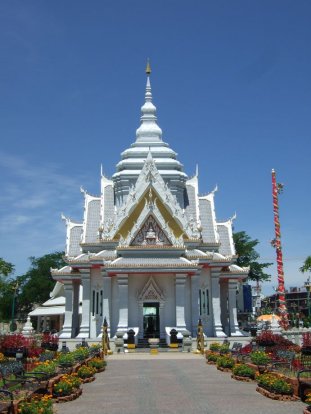
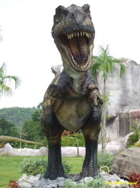
Khon Kaen is the commercial, administrative an educational centre of the Northeast, which is often used by travellers as a base for visiting many parts of upper Isan. Khon Kaen National Museum houses objects from the Dvaravati period and bronze sculptures from Ban Chiang. Kaen Nakhon Lake in the centre of town is a popular spot for picnics and dining,while Wat That on its bank features typical Isan spires. Khon Kaen is the centre of the northeastern silk industry with numerous villages producing their own mudmee designs. Chonnabot is noted for its quality silks. Every December the city hosts a Silk Fair,when all the best materials are on sale. Unusual animals are popular in the province,with the cobra and the turtle villages high on tourist programmes. In both villages, the residents live with their proteges, training them and putting on fascinating shows. A dinosaur is the provincial symbol ever since remains of these great beasts were unearthed in Phu Wiang National Park,an area also famous for its flora,fauna and waterfalls. Khon Kaen is 445 kilometres from Bangkok and has an area of about 10,886 square kilometres. It comprises the districts of Muang, Ban Phai, Phon, Nam Phong, Chum Phae, Phu Wiang, Mancha Khiri, Nong Ruea, Kranuan, Nong Song Hong, Chonnabot, Si Chomphu, Waeng Noi, Ubolratana, Ban Fang, Khao Suan Kwang, Phra Yuen, Waeng Yai, Pueai Noi, Phu Pha Man, Khok Pho Chai, Nong Na Kham, Sam Sung and Ban Haet. |
|
|
Loei
|
Although geographically located in the northeast or Isan, Loei has many things in common with the northern region – namely its numerous high hills and mountains and its wintry as well as foggy climate. Literally speaking, the province deserves its name “Loei” which means ‘beyond’ or ‘to the furthest extreme’ as Loei lies in the northernmost part of the Northeastern region. Most notable is that Loei is the only province in Thailand where the temperature can drop to as low as zero Celsius in winter while it can become hotter than any province during summer. In short, Loei’s geography and climate is unique when compared to other Isan provinces. Situated along the Phetchabun Mountain Range, Loei, a province that rises approximately 400 meters above sea level, is dubbed “the land of seas of mountains, the coolest in Siam”. Covering an area of 11,424 square kilometers (equivalent to 7.14 million rai of land), Loei Province, which is 520 kilometers from Bangkok shares a border with Laos to the north with the Khong and Heung Rivers forming the natural border, with Khon Kaen and Phetchabun Provinces to the south, with Nong Bua Lamphu, Udon Thani, Nong Khai and Khon Kaen Provinces to the east, and with Phitsanulok Province to the west. The province can be divided into three main areas: the high mountains in the west, the plains at the foot of the hills in the south and the east, and the lowlands in the basins of the Khong and the Loei Rivers. Loei Province has an abundance of precious resources such as forests and natural resources. Of equal importance, however, is its unusual mix of northern and northeastern culture which is treasured by both locals and visitors. This remarkable cultural blend has produced more than one local dialect but only one local identity. Attractions within the province that should be explored include Phu Kradung, Phu Luang and Phu Reua National parks, as well as Tha Li and Chiang Khan Districts.Administratively, Loei is divided into 12 districts (Amphoes) : Mueang, Wang Saphung, Phu Kradueng, Chiang Khan, Pak Chom, Tha Li, Phu Ruea, Dan Sai, Na Haeo, Na Duang, Phu Luang, Pha Khao, Erawan and Nong Hin. |
Maha Sarakham
|
Situated in the heart of Northeastern Thailand, the small province of Maha Sarakham is considered to be a regional education centre, earning the name "Taksila of Isan" (Taksila was a city where education of all branches centered around in ancient India). The province also houses a sacred Buddha image and has many historical sites, with the province being the former site of the ancient Dvaravati city of Nakhon Champa Si. Maha Sarakham's beautiful hand woven silk and cotton fabrics are sought after for their original patterns. Maha Sarakham is 470 kilometres from Bangkok and has an area of approximately 5,291 square kilometres. The province is divided into the following districts: Muang, Kantharawichai, Kosum Phisai, Wapi Pathum, Borabue, Phayakkhaphum Phisai, Na Chueak, Chiang Yuen, Na Dun, Kae Dam,Yang Si Surat, Kut Rang and Chuen Chom. |
Mukdahan
|
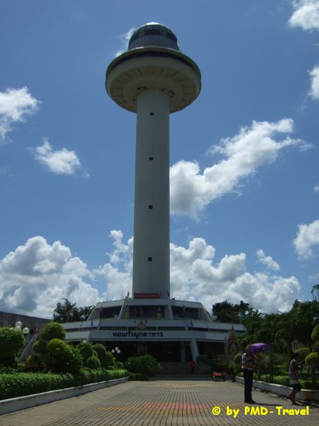
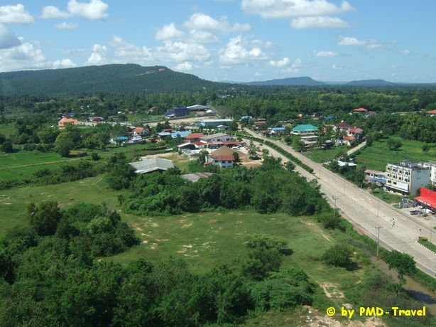
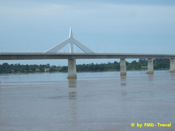
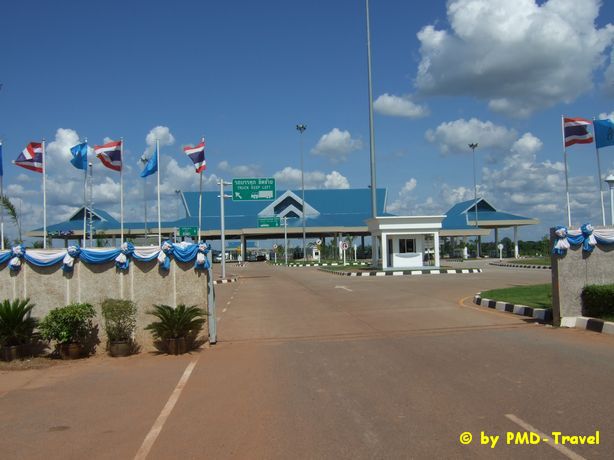
Mukdahan is a peaceful province located on the bank of the Mekong River, opposite Sawannakhet in Laos. The ancestors of the Mukdahan people migrated from Laos to establish the city in the late Ayutthaya period. The province has always been an interesting mixture of cultures from various tribes since ancient times. Moreover, it is a land of fantastic natural rock parks and is a major gateway to tourism in Laos and Vietnam. The province is renowned for its sweet tamarind fruit and features many natural attractions. Mukdahan has an area of 4,339 square kilometres and is divided into the following districts: Muang, Kham Cha-I, Nikhom Kham Soi, Don Tan, Dong Luang, Wan Yai, and Nong Sung. |
|

|
|
Nakhon Phanom
|
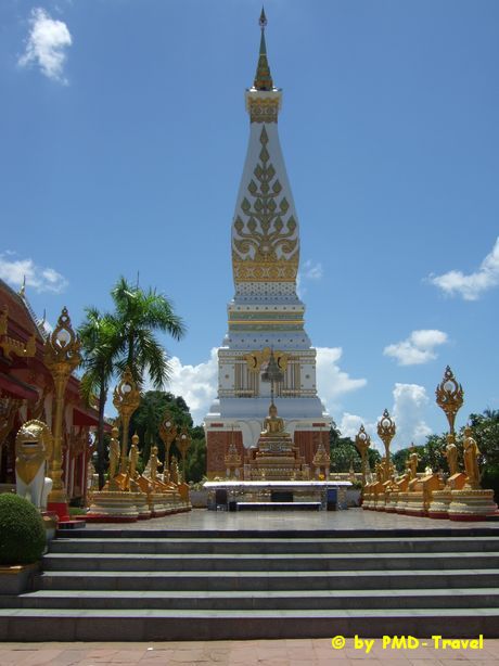
Located on the right bank of the majestic Mekong River is Nakhon Phanom an ancient city with a name that literally means of City of Hills . The lovely setting of the provincial capital is enhanced by the rugged beauty of jungle covered mountains which lie beyond the Laotian town of Tha Khaek , located on the opposite bank of the river. Nakhon Phanom is renowned as a great place with beautiful scenery and relaxing ambiance by the Mekong River. With a history that dates back many thousands of years, the province is a melting pot of diverse ethnic cultures and traditions. However, the culture with the strongest influence on the architecture, customs and cuisine of the province is the Lao culture. Encompassing a total area of 5,512 square kilometers, most of which are high hills and plains covered with lush and virgin forests, Nakhon Phanom is where Phra That Phanom, the most sacred and ancient religious monument of the Northeast, is located. Both Thais and Laotians usually make their pilgrimage to this highly venerated site to ask for blessings. In addition, visitors can experience the unique fusion of Thai and Lao arts and culture through customs such as the Bai-Sri-Su-Kwan ceremony (the extension of a generous welcome to guests when a potent brew of home-made liquor is usually served). |
|
|
History of Nakhon Phanom One of the important cities of upper I-San, Nakhon Phanom was once known as " Sri Kotrabun Kingdom ". Most historians believe that when King Rama I ruled Vientiane , the area was named "Maruka Nakhon". It was later renamed "Nakhon Phanom", because of its outstanding geographical feature its location among many hills and mountains. Throughout history, Laotians and people from other ethnic groups had migrated across the Mekong River . This recurring pattern of migration left its mark on the local dialects, customs and cuisine of Nakhon Phanom. Some historic treasures include folk dances such as the Sri Kotrabun dance, which is regarded as the symbolic dance of Nakhon Phanom's, the Fon Phu Thai, Sek-Ten-Sak and So Tung Bung that are performed on special occasions. Todays Nakhon Phanom Nakhon Phanom, which is 740 kilometers from Bangkok , covers an area of 5,512 square kilometers and is comprised of the following districts: Mueang Nakhon Phanom, Pla Bak, Tha Uthen, Phon Sawan, Ban Phaeng, That Phanom, Renu Nakhon, Na Kae, Si Songkhram, Na Wa , Na Thom and Wang Yang. |
Nakhon Ratchasima - Khorat
|
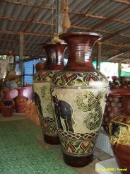
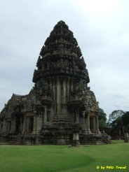
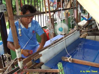
Nakhon Ratchasima, generally known as "Khorat", is Thailand’s largest province situated on sprawling northeast plateau. Located approximately 260 kilometers northeast of Bangkok, the city itself serves as the gateway to the lower northeastern region. Covering an area of 25,494 square kilometers that is mainly plateaus and mountainous terrain, Khorat has fascinating traditions, charming hospitality, splendid natural scenery and awesome historical sites. Some of the main attractions in Khorat are Khmer ruins. One of the Thailand’s finest Khmer ruins can be seen here next to Mon and Lao sites. In addition, Khorat has an abundance of natural attractions in its forests, hills, wildlife and waterfalls that are easily accessible in locations such as Khao Yai National Park. Khorat is most well known for silk weaving and a variety of top-notch quality handicrafts such as clay pottery products. Geographically, Nakhon Ratchasima borders on Chiyaphum and Khon Kaen Provinces in the north, Buri Ram Province in the east, Chiyaphum and Saraburi Provinces in the west and Nakhon Nayok and Prachin Buri Provinces in the south. Inhabitants of the province are mainly engaged in agricultural activities that include farming of rice and other crops such as sugar cane, tapioca, corn, jute, peanuts, sesame and fruits. There are more than 100 savings and agricultural cooperatives in the province, 35 irrigation projects and 7,122 industrial factories. Most of the factories are rice mills, tapioca product manufacturers, and industrial factories. Looking back Khorat used to be the site of several ancient prehistoric communities. Little is known about the early history of Khorat, except that it used to be part of a kingdom called Sri Janasa an empire that extended its power to the entire Khorat Plateau. Initially the predominant cultural influence in the city was that of the Dvaravati culture, however, it was later replaced by the Khmer culture. The prehistoric site of Ban Prasat is an evidence of this occurrence while traces of both the Dvaravati and Khmer cultures are scattered throughout the province, particularly at Amphoe Sung Noen and Amphoe Phimai. Once an administrative and cultural center, Khorat ’s role today remains unchanged as it is currently the main transportation, industrial and economic hub of the Northeast. |
|
Nong Bua Lam Phu
|
Split off from Udon Thani in 1993, Nong Bua Lam Phu is a scenic province famous for its prehistoric sites. Fossilised shells about 140 million years old can be seen in the cliffs 10 kilometres outside the main town;archaeological sites at Kudkwangsoi villages are also attractions. Well worth a visit is the huge Erawan Cave, Full of beautiful stalagmites and stalacitites. A very long stairway leads up to the cavern, where a large Buddha sits at the entrance. Wat Tham Klong Phen, a tranquil forest monastery outside of town, is revered as the home of the famous meditation monk. Luang Phu Khao Analayo. A museum in the compound is dedicated to the monk. A beautiful nature reserve is found at Phu Kao Phupan Kham National Park covering 320 square kilometres, including a large lake formed by Ubon Ratana Dam, which is a popular fishing area. |
Nong Khai
|
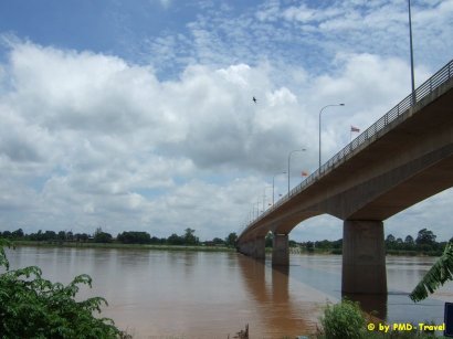
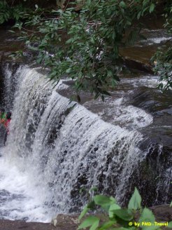
Nong Khai is a long thin province running along the Mekong River, providing the main access to Laos. Originally people went by boat from Tha Sadet, but the building of the Friendship Bridge across the Mekong has made Nong Khai a major centre for transport and trade with Laos. Attractions include Wat Pho Chai, renowned for its large seated Buddha believed to have been cast in Lan Chang, and Phra That Nong Khai, an old chedi that slipped into the river and can now only be seen completely in the dry season. Sala Kaeo Ku is a bizarre sculpture garden packed with statres of Shiva, Vishnu and Buddha as well as many other figures from Hindu and Thai culture. Phu Wua Wildlife Sanctuary near the Mekong River contains a number of beautiful waterfalls. Nong Khai is 615 kilometres from Bangkok and has an area of 7,739 square kilometres. It consists of the following districts: Mueang Nong Khai, Bueng Kan, Phon Phisai, Tha Bo, Sangkhom, Seka, So Phisai, Si Chiang Mai, Phon Charoen, Pak Khat, Bueng Khong Long, Si Wilai, Bung Khla, Sa Khrai, Rattana Wapi, Fao Rai and Pho Tak. 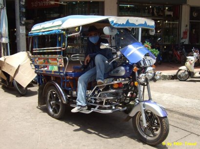
|
|
Roi Et
|
Roi Et town is built around a large artificial lake,Bung Phlan Chai,where a large,walking Buddha stands on a small island in its centre. Tall Buddhas are popular in Roi Et as Wat Buraphaphiram features a 68-metres walking Buddha,with a staircase that enables visitors to climb to knee-high level. Sixty kilometres outside of town, Ku Kasing is a large Khmer sanctuary dating from the 11 th century,and under restoration. Handicrafts are the province's main product,particularly the Isan khaen, a kind of panpipe made from wood and reeds. These are best made in the small village of Si Kaew. Thanon Phadung Phanit is a good place to buy silk and cotton fabric. Roi Et has an area of about 8,299 square kilometres, consisting of the following districts: Mueang, Thawat Buri, Selaphum, Phon Thong, Nong Phok, At Samat, Phanom Phrai, Chaturaphak Phiman, Kaset Wisai, Suwannaphum, Pathum Rat, Pho Chai, Mueang Suang, Phon Sai, Moei Wadi, Si Somdet, Changhan, Chiang Khwan, Nong Hi and Thung Khao Luang. |
Sakon Nakhon
|
Sakon Nakhon is in the upper Northeast. It is on the Phu Phan mountain range and has many forest temple retreats for meditation. These temples are also where famous monks well known in meditation circles reside. Sakon Nakhon is 647 kilometres from Bangkok and has an area of 9,605 square kilometres. Sakon Nakhon consists of the following districts: Muang Sakon Nakhon, Waritchaphum, Kut Bak, Kusuman, Ban Muang, Phanna Nikhom, Sawang Daen Din, Wanon Niwat, Phang Khon, Akat Amnuai, Song Dao, Kham Ta Kla, Tao Ngoi, Khok Si Suphan, Nikhom Nam Un, Charoen Sin, Phon Na Kaeo and Phu Phan. |
Si Sa Ket
|
Si Sa Ket is a quiet province on the Cambodia border with Khmer ruins scattered throughout the province.Most notable are the two ruined sanctuaries of Wat Sa Kamphaeng Yai and Noi,dating back to the 10 th century. However, the most famous Khmer site is actually in Cambodia. Khao Phra Wihan was built over 10 centuries ago and is one of the most spectacular Angkor-period sites. Built as a Hindu temple, it begins in Thailand and rises to 600 metres with the main sanctuary in Cambodia. After a long period of war, its wonderful craftsmanship,stairways and courts are now being restored. Thi walk to the summit is long and steep, but visitors are sure to be impressed by the size and complexity of its design. Si Sa Ket has an area of 8,840 square kilometres, comprising the following districts: Muang Si Sa Ket, Kanthararom, Kantharalak, Khun Han, Phrai Bung, Khukhan, Prang Ku, Uthumphon Phisai, Rasi Salai, Yang Chum Noi, Huai Thap Than, Non Khun, Si Rattana, Wang Hin, Bueng Bun, Nam Kliang, Phu Sing, Benchalak, Muang Chan, Pho Si Suwan and Sila Lat. |
Surin
|
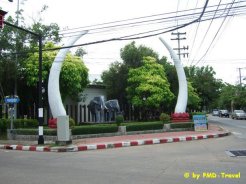
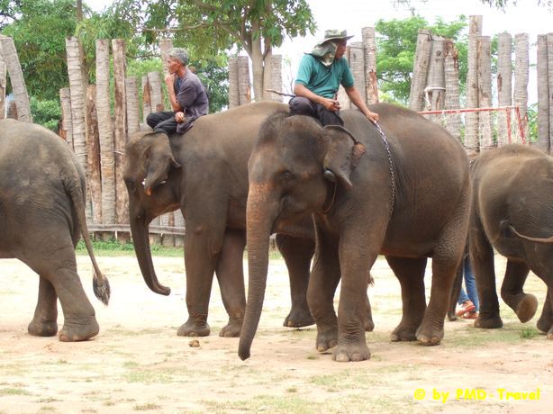
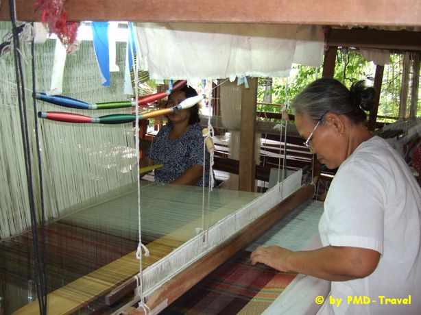
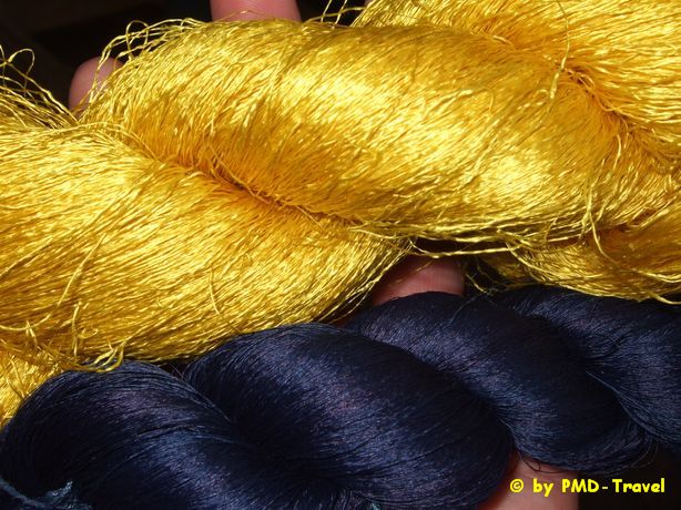
Surin is a big province on Mun River Basin in Lower Northeast of Thailand. It is well known, locally and international, for its elephant. The gigantic animal of Surin impresses everyone with loveliness, cleverness and creates unique character of the province. Surin people have long relationship with elephant which becomes icon of the province now. Plenty of Khmer Ruins, beautiful silk and famous jasmine rice make Surin a very interesting destination. In historical aspect, Surin’s story can be dated back thousands of year B.C. when Suai or Kuai ethnic group migrated along Mekong River to settle around Dongrek Range. Kuai ethnic people, found in Thailand and Laos, is talent in catching and training elephant. Some 2,000 years ago, during Khmer Era, Surin town was established. After the fall of Khmer Empire, the town was neglected until 1763, when Luang Surin Pakdi (Chiang Pum) headman of Mueang Thi Village, led his people to settle at Ban Khu Prathai, in present Surin City. He was promoted as the first mayor later. Surin is some 457 kilometres from Bangkok. The province acquires total area of 8,124 square kilometres and it can be divided into 17 Amphoes namely Mueang Surin, Chumphon Buri, Tha Tum, Chom Phra, Prasat, Kap Choeng, Rattanaburi, Phanom, Si Khoraphum, Sangkha, Samrong Thap, Buachet, Lamduan, Si Narong, Phanom Dong Rak, Khwao Sinarin, and Non Narai. |
|
|
|
Ubon Ratchathani
|
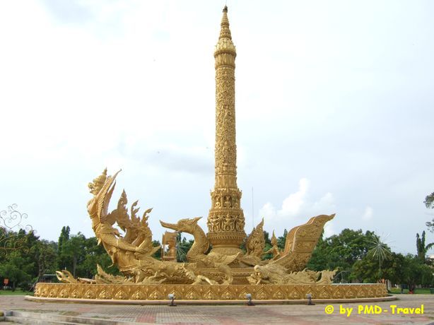
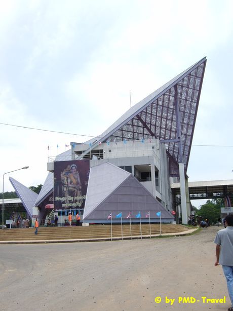
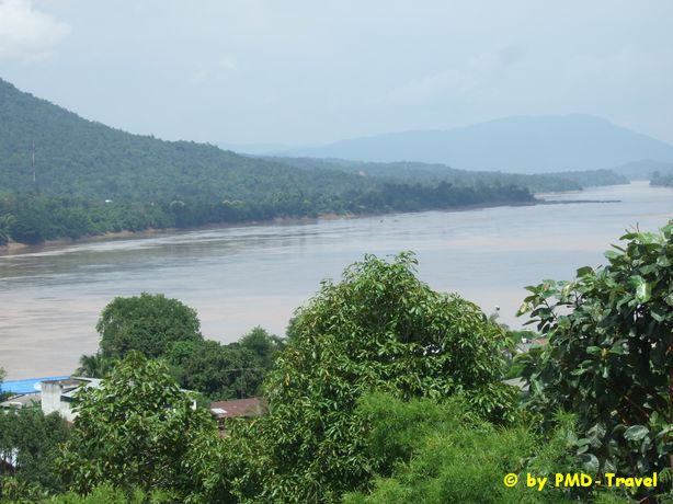
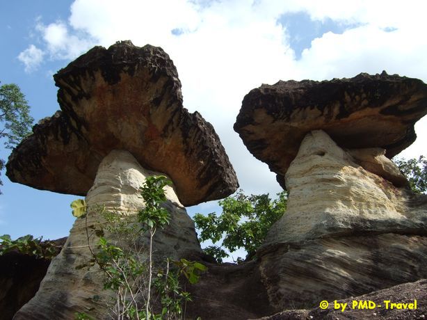
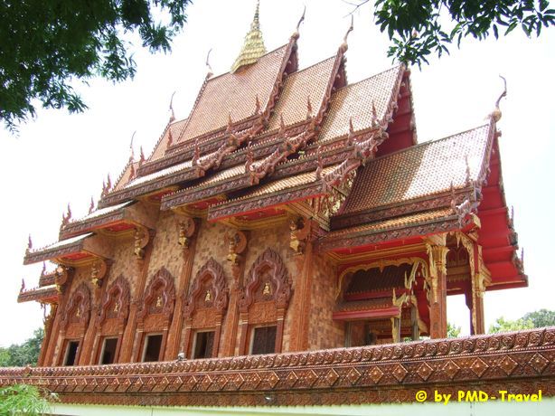
Ubon Ratchathani has been a well established community for hundreds of years. Relatively unknown to the most tourists, the province boasts a number of natural wonders, cultural and historical attractions, national parks, silk producing shops, etc. The province is renowned for its strong Buddhist tradition, particularly the practice of forest-dwelling monks and the ancient Buddhist temples, which can still be seen throughout the province today. A gateway to Laos, Ubon Ratchathani is bordered to the east by the Mekong River and Laos, to the south by Cambodia, to the west by Yasothon and Sisaket Provinces and to the north by Amnat Charoen Province. The provincial capital is approximately 630 kilometers northeast of Bangkok. The province is unique in its folk culture, which is expressed in the indigenous cuisine, handicrafts, such as silk and cotton products, basketry, and bronze-ware, and traditional events such as the Candle festival held every July. There are natural beauties and historical sites including the 4,000 years old rock formation, prehistoric rock paintings, national parks, waterfalls, and the two- colored river, etc. The Past Since the 10th century, Ubon Ratchathani, or simply Ubon, was part of the Khmer Empire until the Kingdom of Ayutthaya conquered it. Towards the end of the 18th century, Laotians immigrated to the northern banks of the Mun River and founded the provincial capital. The Laotian influence is evident in the architectural structure of some of the city’s religious buildings. This incident was told in the provincial seal which features a pond with a lotus flower and leaves in a circular frame. It symbolizes the ancient community of the people who fled the massacre of King Siriboonsarn of Vientiane and came to settle in Nong Bua Lam Phu Province in 1779 during the reign of King Thonburi. This community was established as a province with the name Ubon Ratchathani Srivanalai in 1792 during the reign of King Rama I, the first king of the Chakri Dynasty. During the reign of King Rama V, Ubon Ratchathani was annexed to Lao Kao town. Later in 1899, the area was under the supervision of Northeastern Monthon, with Ubon Ratchathani serving as an administrative hub. In 1900, the name was changed to Monthon I-San. When the Monthon system was abolished, the city has become Ubon Ratchathani province. During the Vietnam War, Ubon encountered expansive growth due to its proximity to an American air base. The Present Today, the province is the largest and one of the most important provinces in northeastern Thailand. Due to the large number of fascinating temples dotting the city, Ubon is a place of pilgrimage at the beginning of Buddhist Lent. Aside from the numerous attractions, festivals and holidays are celebrated with a unique Ubon flair. Located in the Korat Basin about 68 meters (227 feet) above sea level, most of Ubon Ratchathani is a plateau sloping to the east to meet the Maekhong River, a border between Thailand and the Lao Peoples Democratic Republic. Other major rivers in the area are the Chee River, Moon River, Lum Saybok River, Lum Domeyai River and Lum Domenoi River. There are some high mountain ranges in the south such as Bantad Range and Phanom Dongrak Range which border Ubon Ratchathani and the Lao Peoples Democratic Republic and the Kingdom of Cambodia. The most important natural resource in Ubon Ratchathani is its forests, such as Teng-Rung forests, Red forests and mixed forests. In the province, there are 50 national preserved forests, 3 national parks, 2 botanical gardens, 1 wild life preservation area and 1 botanical park. There are highways and rail roads connecting different districts in Ubon Ratchathani with other provinces and there is one international airport located in Muang District. People of Ubon Ratchathani are engaged in activities related to agriculture and livestock raising. They are religious and still abide by tradition and culture. Locals usually dwell in groups of houses, speak their own dialects and practice their traditionally handed down cultures. The province covers 15,517 square kilometers and is divided into the following districts: Muang, Warin Chamrap, Det Udom, Buntharik, Na Chaluai, Nam Yuen, Phibun Mangsahan, Khong Chiam, Si Muang Mai, Trakan Phuet Phon, Khemarat, Mung Sam Sip, Khueang Nai, Kut Khaopun, Tan Sum, Pho Sai, Samrong, Sirindhorn, Don Mot Daeng, Thung Si Udom, Na Yia, Na Tan, Lao Suea Kok, Sawang Wirawong and Nam Khun. |
|
Udon Thani
|
Udon Thani, a northeastern province covering an area of 11,730 square kilometers, is a prime business center of I-San. Located 564 kilometers from Bangkok, it the world heritage site for the prehistoric culture of Ban Chiang. Udon Thani is probably best known for its archaeological wonders, paramount among them the hamlet of Ban Chiang where the world's first Bronze Age civilization is believed to have flourished more than 5,000 years ago. Udon Thani borders Nong Khai to the north, Khon Kaen to the south, Sakon Nakhon to the east and Nongbualamphu and Loei to the west. The province is located on a plateau which is approximately 187 metres above sea level. Most of its areas are covered with rice fields, forests and hills, with the Phu Pan mountain ranges and the Songkhram River are the provinces 2 main natural resources. The locals are mainly engaged in agricultural activities, with particular rising in wholesale and retail trading activities. That is why Udon Thani is an agricultural market hub or neighboring provinces. Udon Thani's provincial seal depicts God Wetsuwan, King of the giants and keeper of the Northern Heavenly Gate. The Past The Vietnam War transformed the sleepy provincial city of Udon Thani into a booming support center for a nearby American airbase. Since the withdrawal of American troops in 1976, it has continued to grow as an industrial and commercial center within the region. The Present Today, Udon Thani is the transportation and communications hub of the upper Northeast with several tourist destinations and facilities. Administratively, Udon Thani is divided into the following districts: Muang, Kumphawapi, Nong Han, Phen, Ban Phue, Ban Dung, Si That, Nam Som, Nong Wua So, Kut Chap, Non Sa-at, Wang Sam Mo, Chai Wan, Nong Saeng, Sang Khom, Thung Fon, Na Yung, Phibun Rak, Ku Kaeo and, Prachaksinlapakhom. |
Yasothon
|
Yasothon is famous for its boisterous Rocket Festival every May,when giant home-made missiles are launched into the air in a symbolic rain-making gesture. In the town at Wat Mahathat,Phra That Yasothon is a much-visited Lao-style chedi,said to be over 1,200 years old. It enshrines holy relics of Phra Ananda,one of Lord Buddha's chief disciples. That Kong Khao Noi is an ancient Khmer chedi with a much revered brick and stucco Buddha that is ritually bathed every April. The handicraft village of Ban Si Than is famed for the triangular pillows used in most Thai households. Yasothon has an area of 4,161 square kilometres. It is divided into the following districts: Muang, Kham Khuean Kaeo, Maha Chana Chai, Pa Tio, Loeng Nok Tha, Kut Chum, Kho Wang, Sai Mun and Thai Charoen. |
|
|